Sierra Leone , officially the Republic of Sierra Leone, is a country in West Africa. It is bordered by Guinea to the northeast, Liberia to the southeast, and the Atlantic Ocean to the southwest. Sierra Leone is a constitutional representative democratic republic and covers a total area of 71,740 km2 (27,699 sq mi). The country is divided into four geographical regions: the Northern Province, Eastern Province, Southern Province and the Western Area; which are subdivided into fourteen districts. The districts have their own directly elected local government known as district council, headed by a council chairman. Freetown, located in the Western Area of the country, is the capital, largest city as well as its economic, commercial and political centre. Bo, located in the Southern Province of the country, is the country's second largest city and the second major economic and commercial centre. The country's six municipalities of Freetown, Bo, Kenema, Makeni, Koidu Town and the coastal town of Bonthe have their own directly elected city councils headed by mayors.
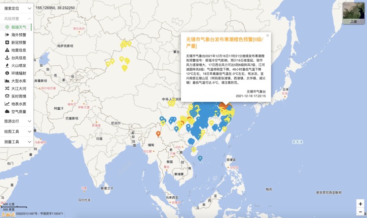
Extreme weather in China
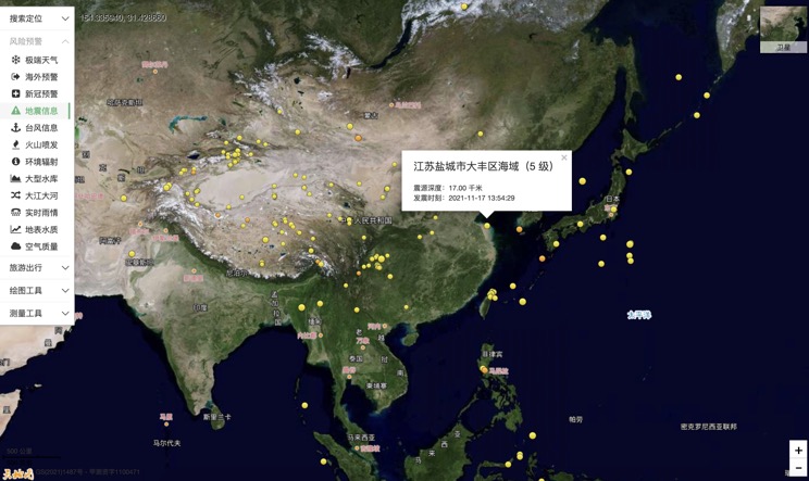
China Earthquake Information
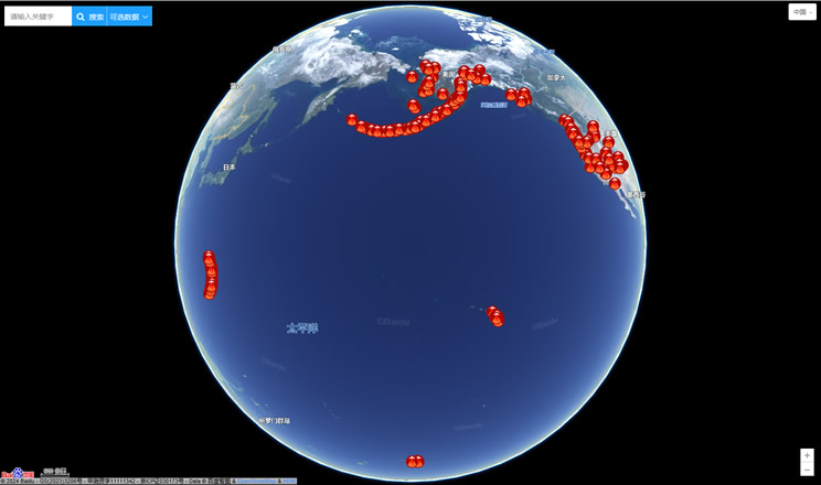
Volcano eruption
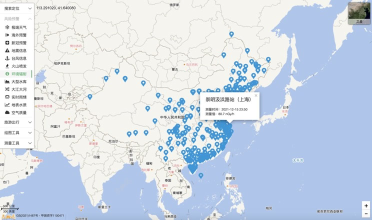
Environmental Radiation in China
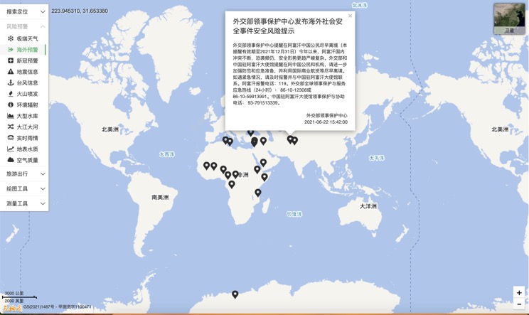
Overseas Warning
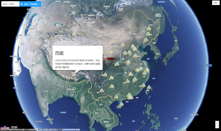
China's air quality
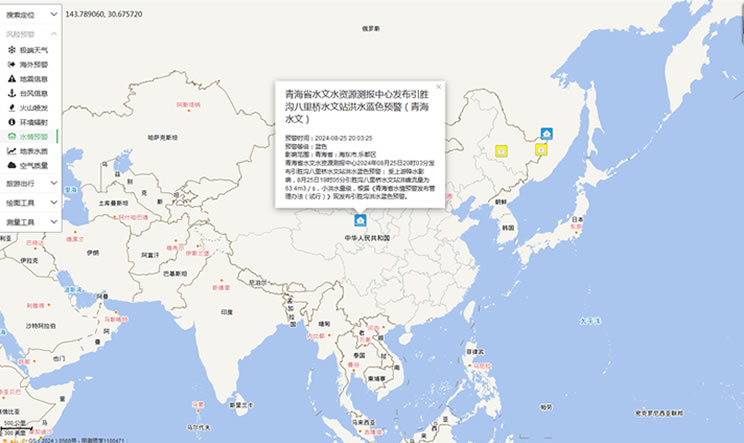
China's Water Disaster Alert
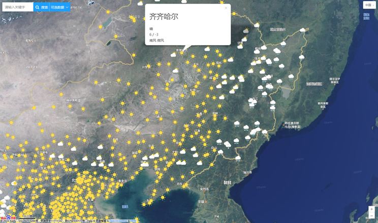
China Weather Forecast
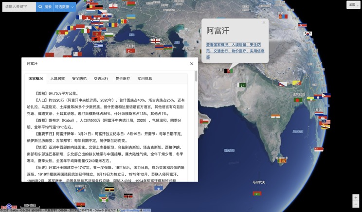
Introduction to Countries
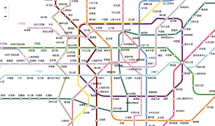
China Subway Lines
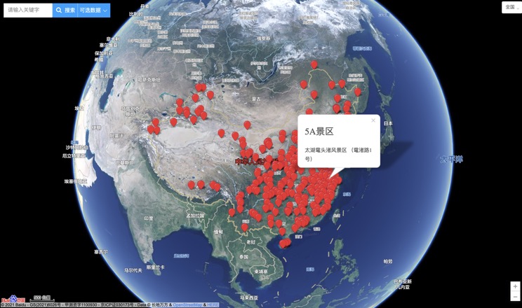
China's 5A Scenic Spots
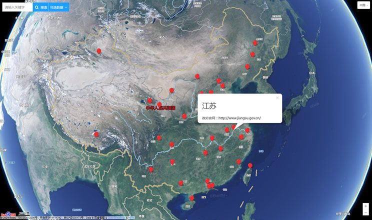
Provincial Capitals in China
